ATRAK

Digital Map Management for ATM systems
ATC system technicians need to maintain current map data for radar display, simulators and reference information systems to reflect AIP requirements.
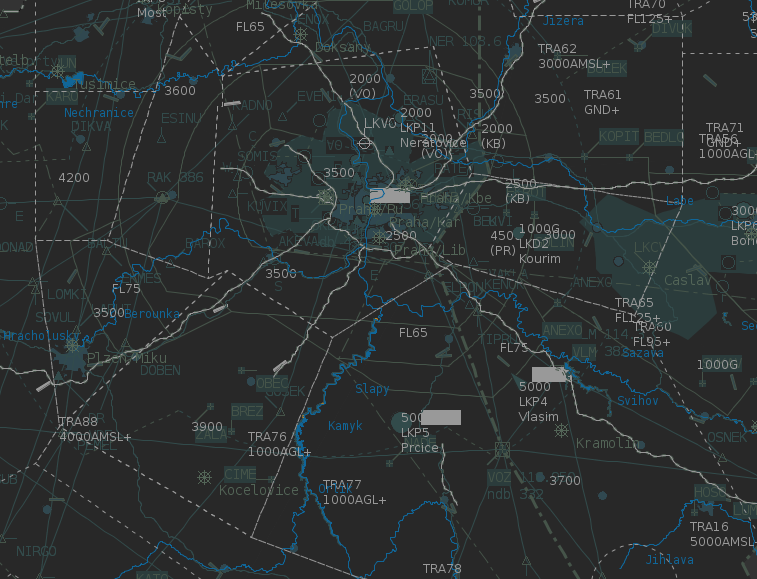
Instead of working with text files full of co-ordinates and a calculator, ATRAK-Charting creates and manages static digital map models used in popular ATC systems and instantly displays the results.
A wide variety of co-ordinate systems can be used for map definition. The resulting map model can be translated to the co-ordinate system of the end-user ATC application.
It has flexible mapping core features that work with popular ATC supplied systems.
Key Features
- Different Projections
- Wide Scaling Possibilities
- Instant display of map model modifications
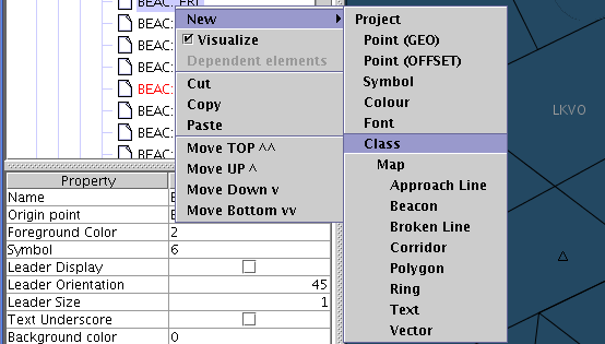
- Copy / Paste of Large sets of Elements
- Hide / Unhide project elements
- Drag and Drop Manipulation of Project Structure
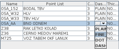
- Mass Attribute Changes
- Runs on Commercial-Off-The-Shelf hardware
- Supports quality assurance /quality control requirements of CAAs
- Objects are placed at accurate locations, tracks and distances, using the ATRAK Mapping projection tools.
Key Benefits
- Integrated platform allows for construction of maps in a project environment
- Visualisation of any or all parts of the project